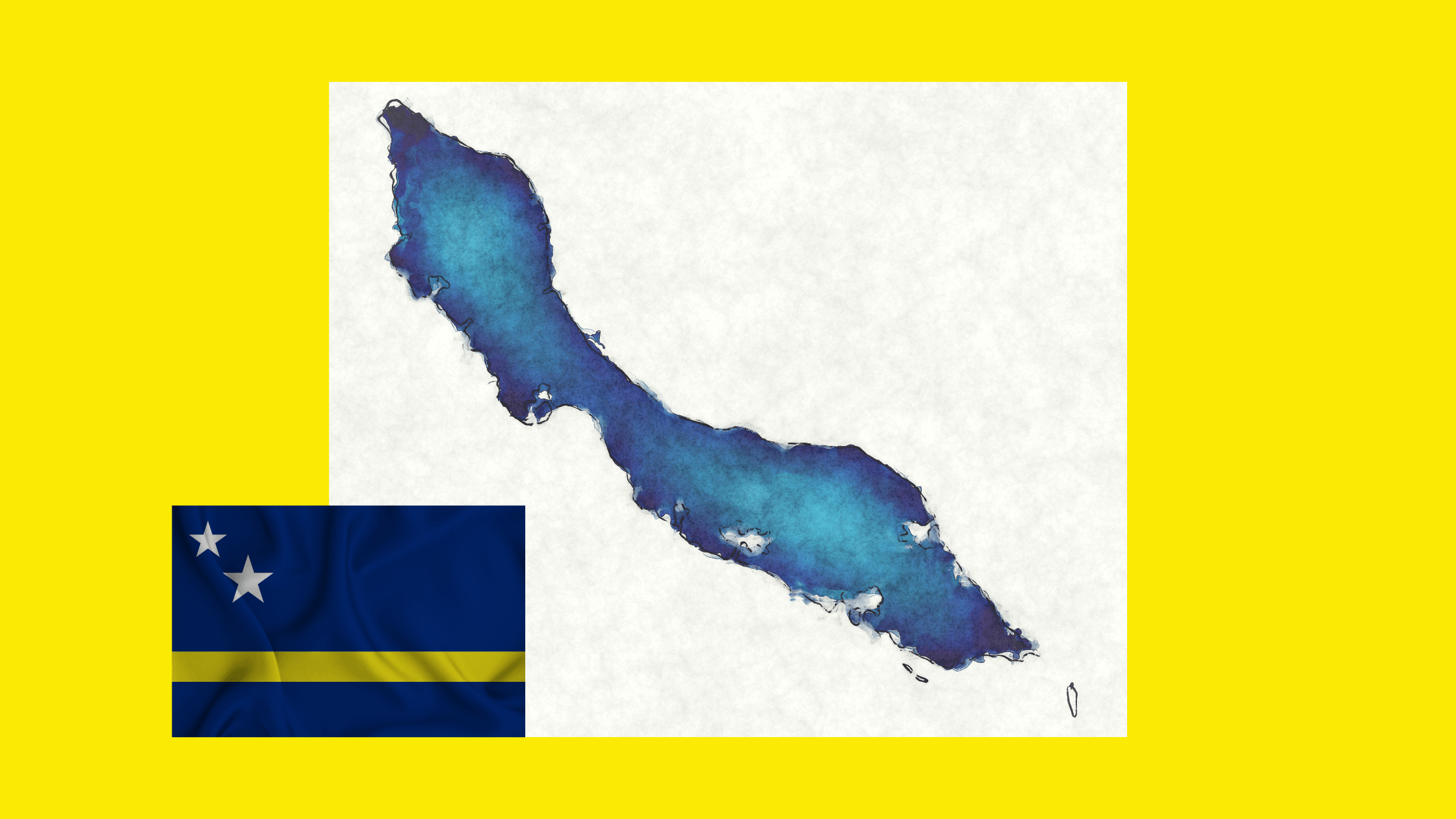
Caribbean Map: Where is Curaçao?

The Caribbean is one of the most breathtaking travel destinations in the world, known for its crystal-clear waters, tropical beaches, and vibrant cultures. But where exactly is Curaçao on a Caribbean map, and why is this island a must-visit destination? In this guide, we’ll explore Curaçao’s location, history, and why it should be on your travel bucket list.
Where is Curaçao Located on a Caribbean Map?
Curaçao is a small but fascinating island situated in the southern Caribbean Sea, just off the northern coast of South America. It belongs to the Dutch Caribbean and is part of the Lesser Antilles, specifically the ABC Islands, which include Aruba, Bonaire, and Curaçao.
Curaçao’s Exact Location:
📍 Latitude & Longitude: 12.1696° N, 68.9900° W
🌍 Region: Southern Caribbean, near Venezuela
✈️ Flight Distance from the U.S.: Approx. 4 hours from Miami
Unlike many Caribbean islands, Curaçao is outside the hurricane belt, meaning it enjoys a relatively stable climate all year round. This makes it an ideal travel destination for those looking to escape unpredictable weather.


then €5.99/month after 14 days
Start your 14-day free trial now to publish your sponsored content. Cancel anytime.