

Hiking trail Ubach-Palenberg/Geilenkirchen

A BEAUTIFUL DAY IN NOVEMBER
Hiking trail Ubach-Palenberg/Geilenkirchen
— By Didi'ms world
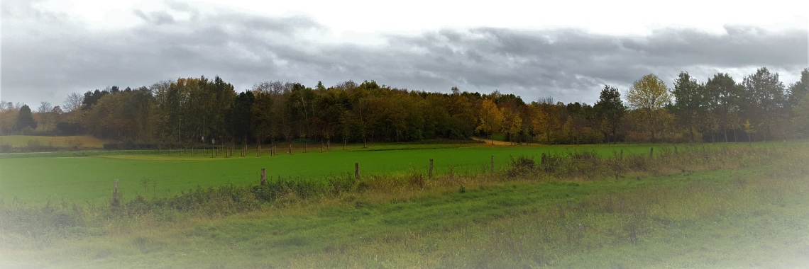
We have walked the Schloss Zweibrüggen — Klangbrücke Rondje from Übach-Palenberg which we found on komoot.nl. HERE .It is a route of 12.1 km and is very easily passable. Ubach-Palenberg borders the Netherlands at Rimburg (Landgraaf) in Limburg. It is basically a walking route through the inhabited world and therefore easily accessible for everyone. People who are poorly on their feet or in a wheelchair can also walk this route. Although the distance may cause problems for people who are poorly on their feet. Along the route there are regular benches where you can take a break. The route ansich caused us some problems in the beginning. It started with the fact that the starting point is not properly marked in the route itself. He starts at the station in Ubach-Palenberg so a little effort to mention that. Then the first clue is “On access road go towards Southeast”. Are there people who know exactly when they're standing somewhere which side the Southeast is? Then underneath it says you have to walk 6 feet that way, and that gauge clue isn't ideal for us, and we found out it wasn't right either. Also there are indications such as “Left on Hiking Trail (SAC T1).” and when you read it you think “nothing wrong with it” only is nowhere indicated that a path is SAC T1. At this point, my love was already getting pretty mangy. But anyway, with a lot of searching (and discussions) we came on the right path. But then you get directions like:7.Straight on Aachener Straße. For 141 m — total 497 m 8.Right on Path. For 38 m — total 535 m 9.Turn left sharply and follow Path. For 25 m — total 560 m 10.Right and follow Path. For 987 m — total 1.55 km.That Aachener Straße we could find but that was not a continuous street and that path??????????, we couldn't find it. And we searched! Now later on in the route we had to go to Zweibrüggen and we had the phone at hand so from the Aachener Straße we took a free interpretation. It could be that we walked well but also completely followed the wrong road (according to the route then). The directions were not very clear according to the route on komoot.nl. So we crossed a bridge. Then just put “cross the bridge on the left”.

When I got home I recorded the route we walked on google.com maps. I think this is clearer. Now you only see A and B on the map regularly. This was because google sometimes does not display certain hiking paths that are there. To view the map properly, you need to zoom in. Click HERE to view the custom map. The route remains approximately the same in terms of mileage (12.5 km). On komoot.nl they indicate that you walk on this route just over 3 hours. My pedometer, however, indicated that we walked 2.5 hours.
The route starts at Bahnhofstraße in Ubach-Palenberg. If you come by car, you have plenty of parking spaces here where you can park your car.

then €5.99/month after 14 days
Start your 14-day free trial now to publish your sponsored content. Cancel anytime.