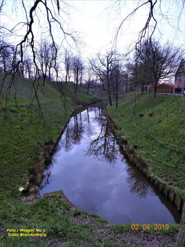
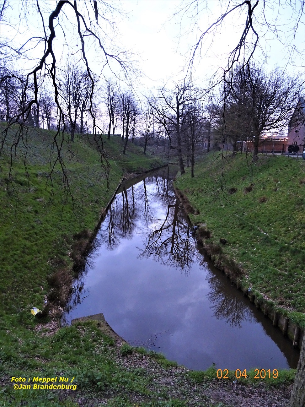
#Stadswallen Steenwijk
Origin is #Steenwijk an old fortified town. The canals and ramparts date back to the time of the Eighty Years' War, when Steenwijk was a strategic place in the battle between the Republic of the Seven United Netherlands and Spain.
Steenwijk is located in the head of Overijssel on the border of some moraine houses (the Woldberg and the Havelterberg) and the low peat area of Giethoorn, De Wieden and De Weerribben. Originally a small river flows through Steenwijk, the Steenwijker Aa, which was created by meltwater. Later this Steenwijker Aa was channeled and then called the Steenwijker Diep from Steenwijk and made the city accessible for shipping. There is a small marina on the Steenwijker Diep. The cityscape is determined by the St. Clement Tower, with its height of 87 meters the fourteenth highest church tower in the Netherlands. The name is related to the many stray stones that are in the ground in the area.
The city has a regional function (shops, schools, employment) for a large region (Kop van Overijssel, Southwest Drenthe). Steenwijk celebrated in 2005 that it received city rights 750 years earlier.
Sharing = earning
1,000,000 views = € 1,000
100,000 views = € 100
10,000 views = € 10
1,000 views = € 1
500 views = € 0.50
250 views = € 0.25
100 views = € 0.10
50 views = € 0.05
25 views = € 0.025
10 views = € 0.01
And much more
- Comments (0)
- Recommended
- Milestones
No comments yet

Meppel Nu
5 years ago
Oh leuk..ik ben geboren in Steenwijk en heb er tot mijn 24e jaar gewoond !
jolandemooij
5 years ago
Wat grappig, we hebben er net gestaan. Het was een gezellig dagje Steenwijk. Ben net begonnen met de voorbereidingen voor een blog.
Here are your recommended items...
Here are your milestones...